West Wratting is a picturesque village situated ten miles east of Cambridge and eight miles south of Newmarket.
It is close to the Suffolk, Essex, Cambridgeshire Border.
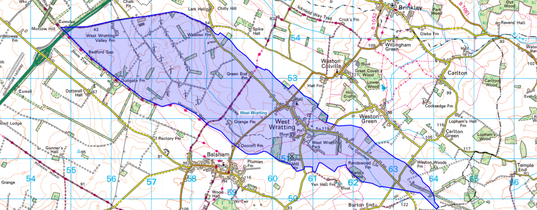
The parish boundary is shown in this map, the original of which can be seen at SWC Maps. The parish has an area of 3543 acres.

Information about the current population of West Wratting is available from 2021 census data. This website has other interesting information about West Wratting.
People have been living in West Wratting since 800 AD. St Andrew’s Church was first built in the early 12th century.
There’s an online version of A History of the County of Cambridge and the Isle of Ely: Volume 6, ed. A P M Wright (London, 1978) where you can read about the history of villages in Cambridge and about West Wratting in particular.
West Wratting Population
[table “” not found /]
Village History Timeline
[table “” not found /]